Using heat maps and Trailforks, I mapped out the basic layout of the FNBP winter trails. This started as a personal project to get more comfortable in the North Bivy area, but it turned out a lot of other people wanted it too! The first round of maps got 200 pre-orders, followed by a second round of 150.
This is the project I’m most excited about right now—turning my Kincaid singletrack map into a decal! I’ve been nerding out while experimenting with a new direct transfer print process. It’s currently in the prototype phase, testing ink combinations and durability. I’ve also given samples to a few bike friends for stress-testing. Beyond R&D, having them share photos of their bottles’ adventures has been a fun way to generate organic interest in the final product.
The art poster is a 24"x18" giclee print, with a pre-order of 100, and available in 3 different colors. I'm working on a smaller (18"x12") version for Christmas. Right is a sample of a video made for the @rormakes instagram.
(Left) A mockup from round 2 of prototypes—the color palette is designed specifically for clear CMYK printing. (Right) My friend Dezarae sent this picture of her bottle, complete with the decal, undergoing the Revelate frame bag test!
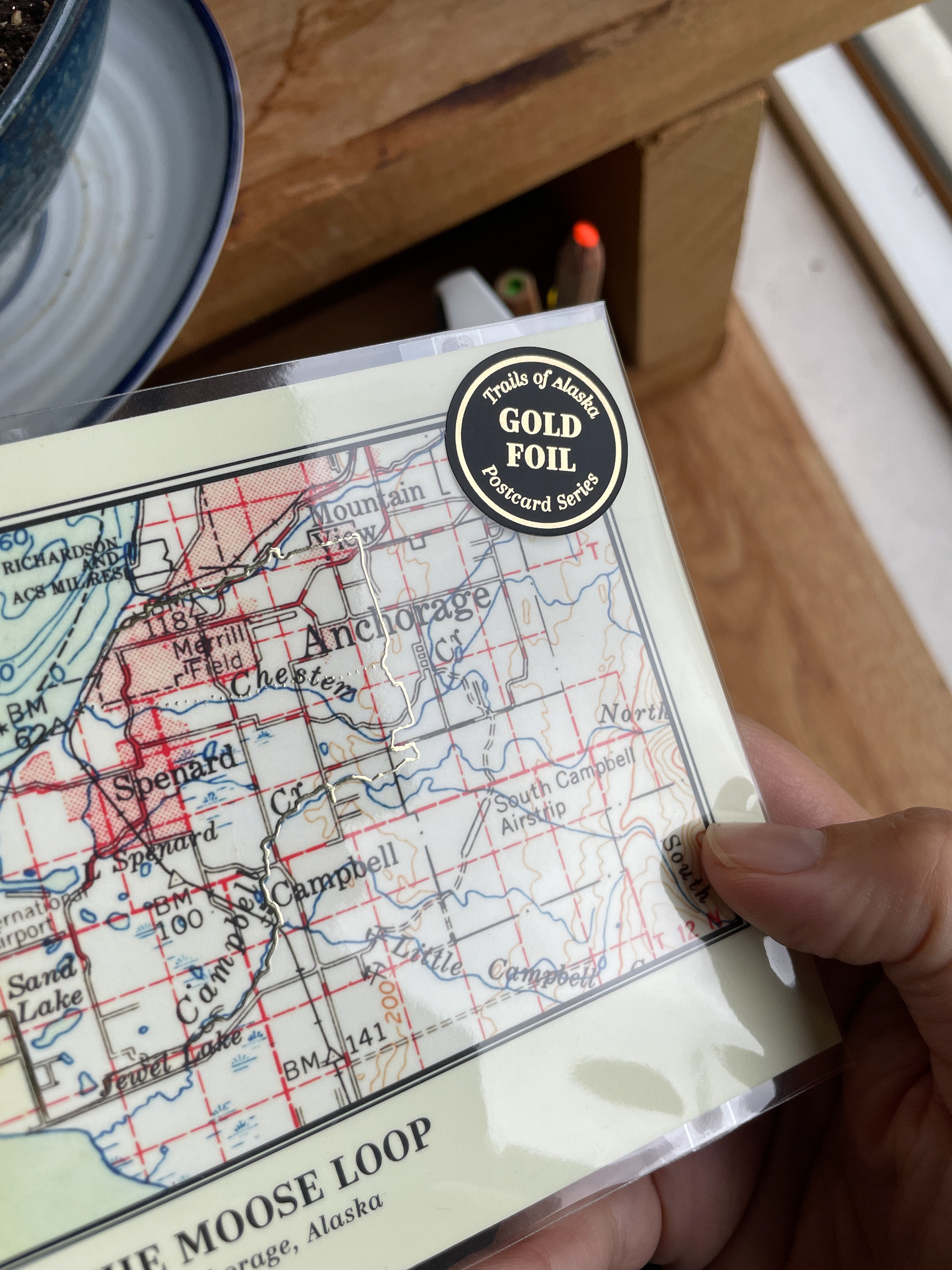
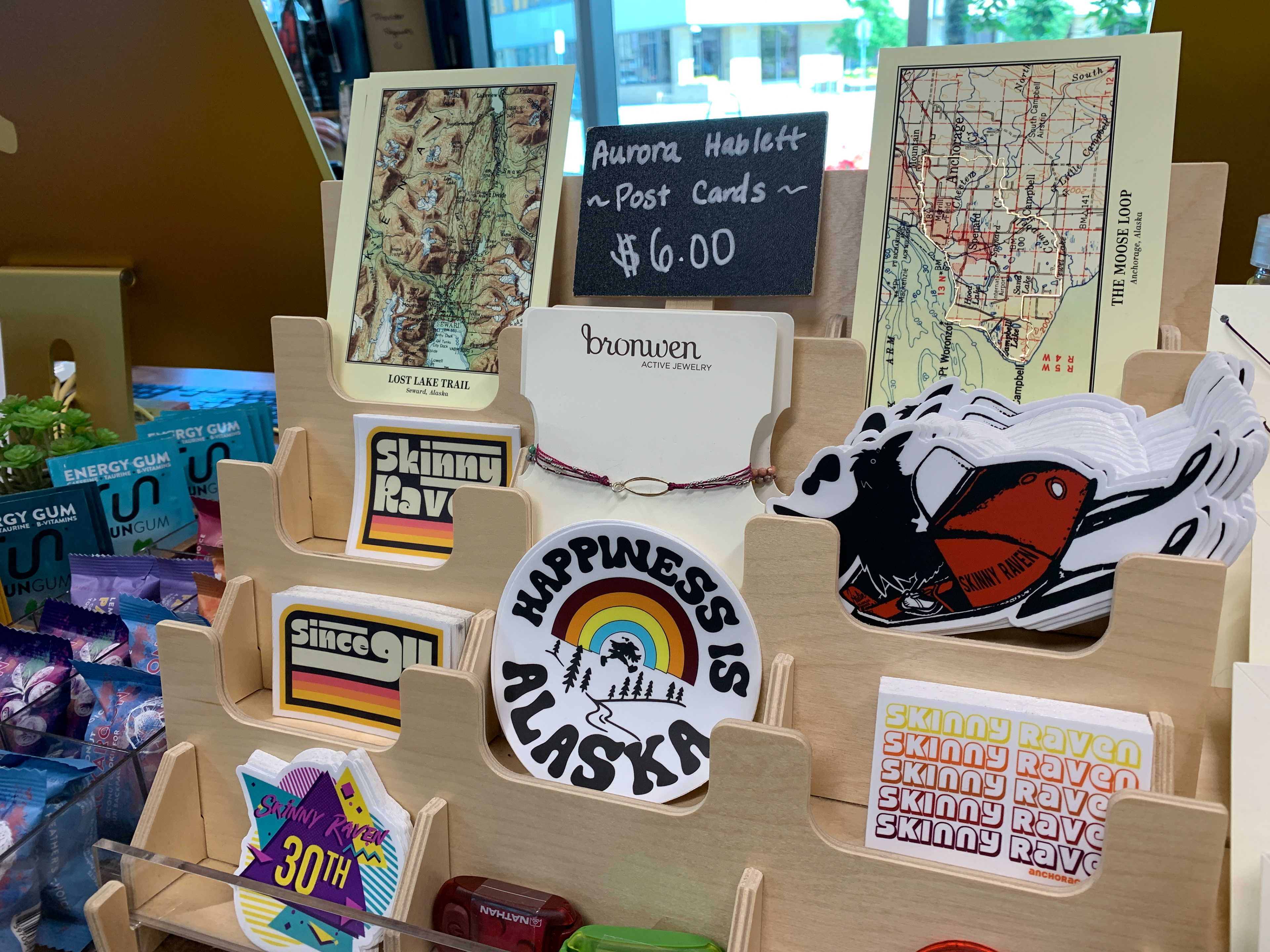
Here are local placements of giclee posters to best reach their target audience—Trek carries a full collection of posters and postcards, and Skinny Raven carries postcards. The postcards feature popular backcountry routes (Lost Lake, Johnson Pass and Resurrection Pass.) The map itself is a USGS map circa 1950, with a gold foil print highlighting the actual trail.
